
機器人應用
Map fields and sites from the air in centimetres
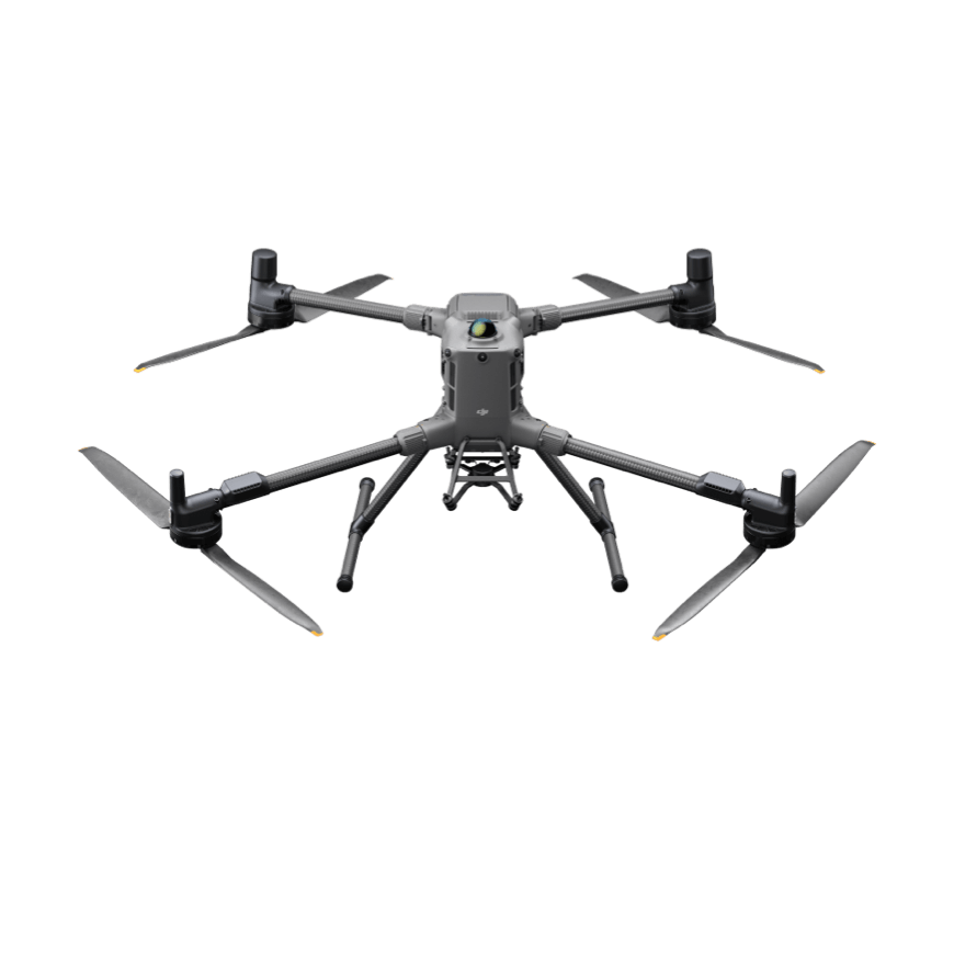
Mapping fields and sites from the air to centimetre accuracy. Flight time and survey accuracy decide coverage per day.
48 robots in our catalog do this job, mostly in agriculture, construction.
適用於該應用的機器人

常見問題
What robots are used for aerial mapping?
Map fields and sites from the air in centimetres — our catalog lists 48 robots tagged to this job. It comes up most in agriculture and construction.
Which aerial mapping robots should I look at first?
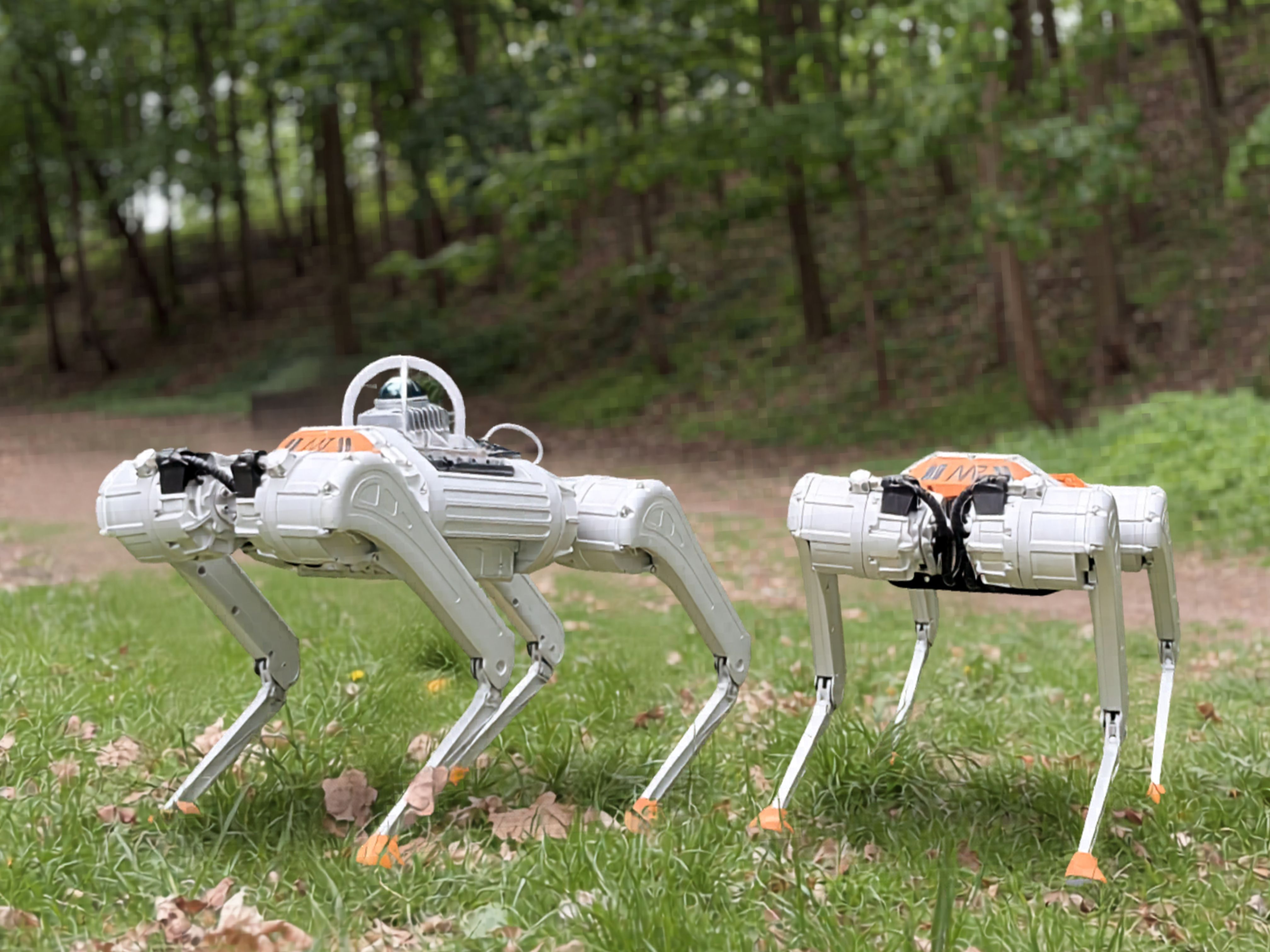
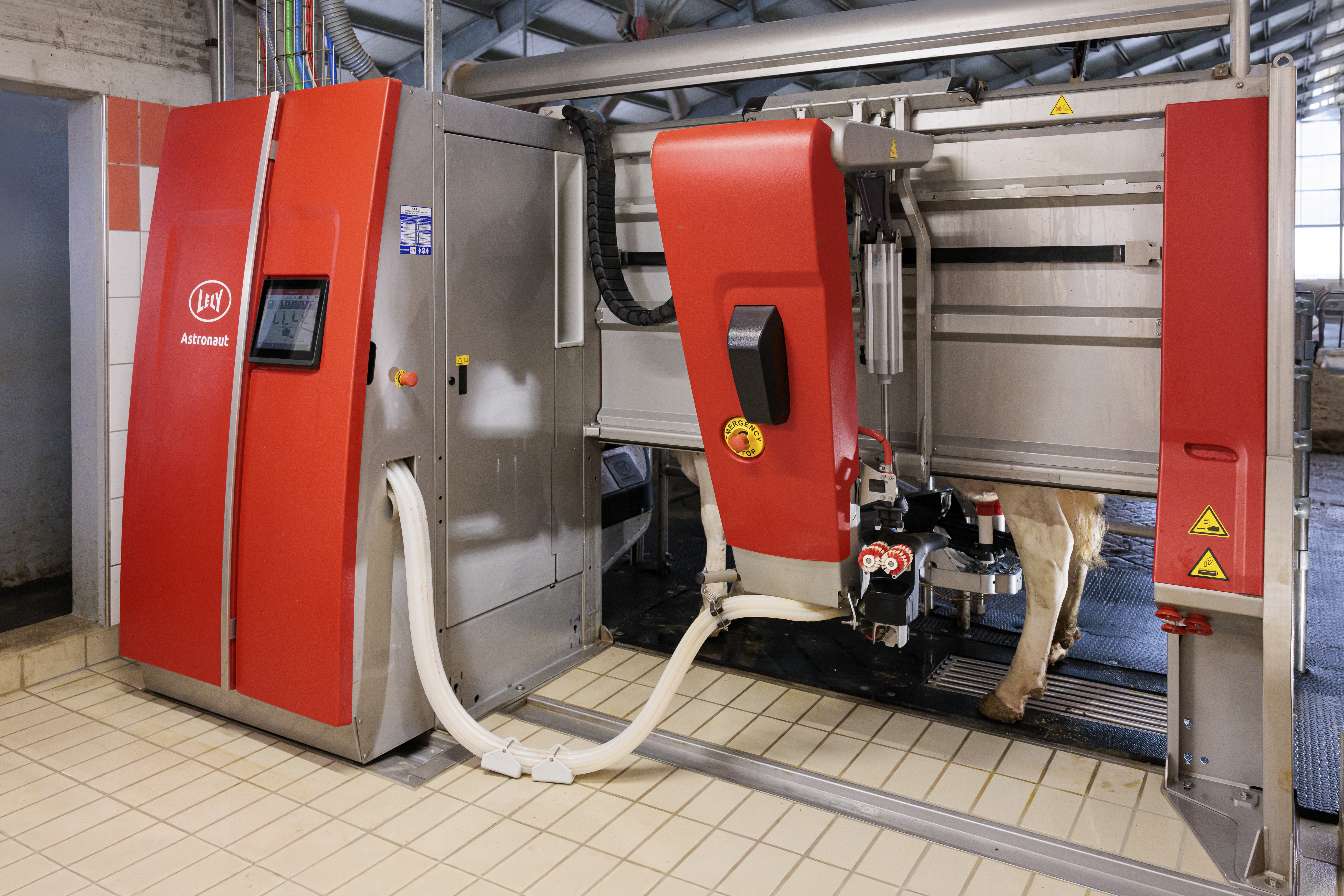
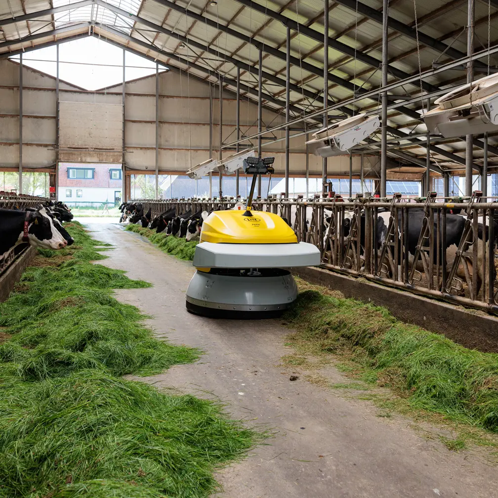
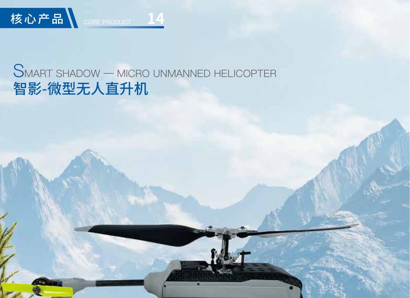
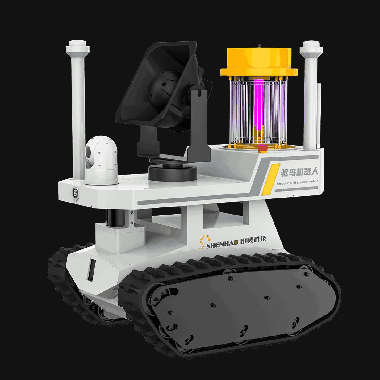
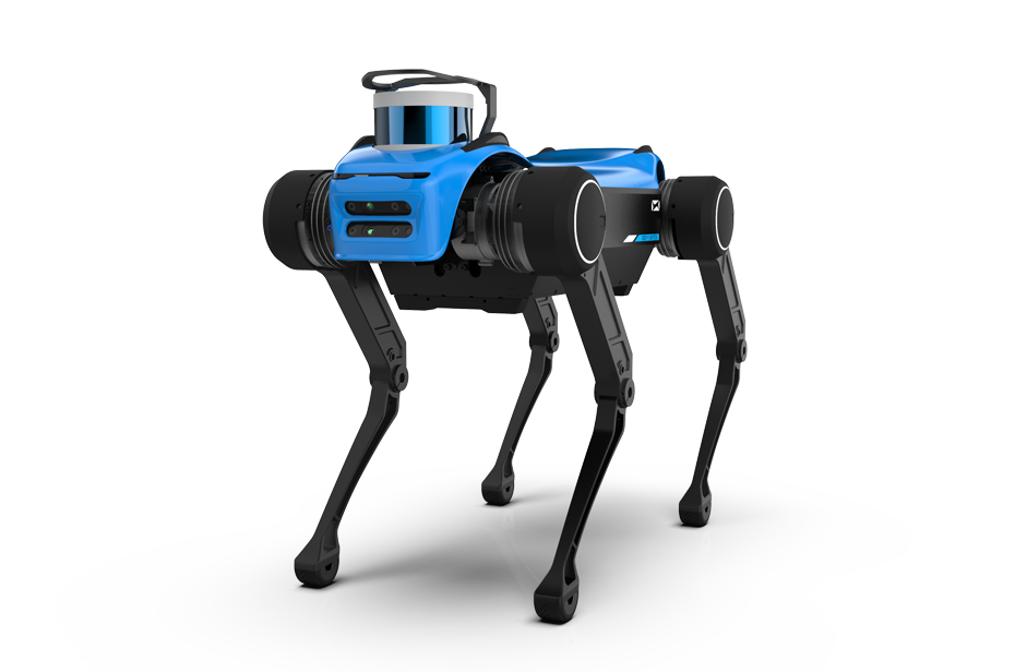
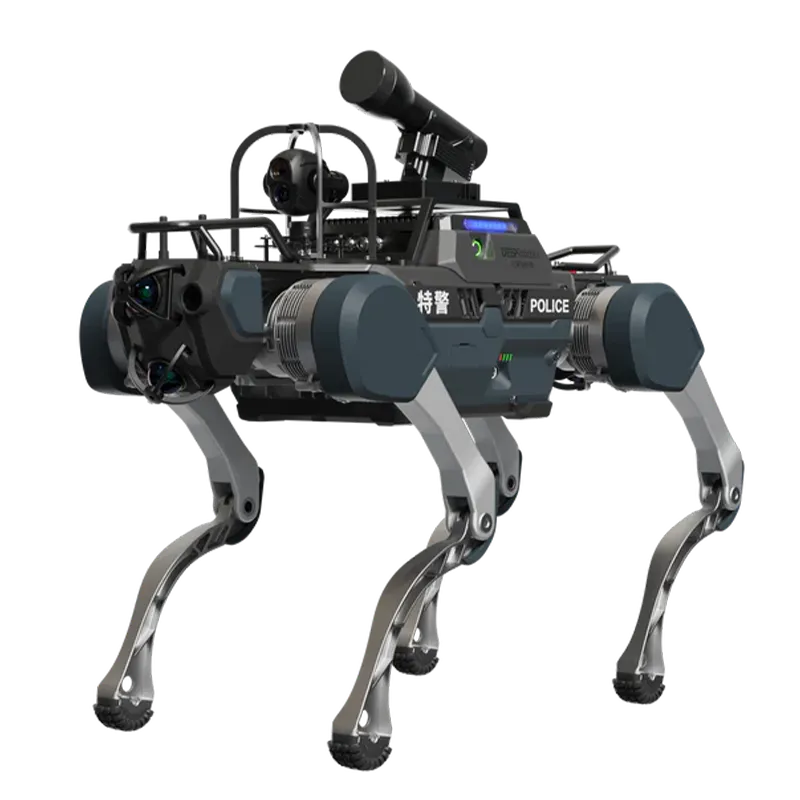
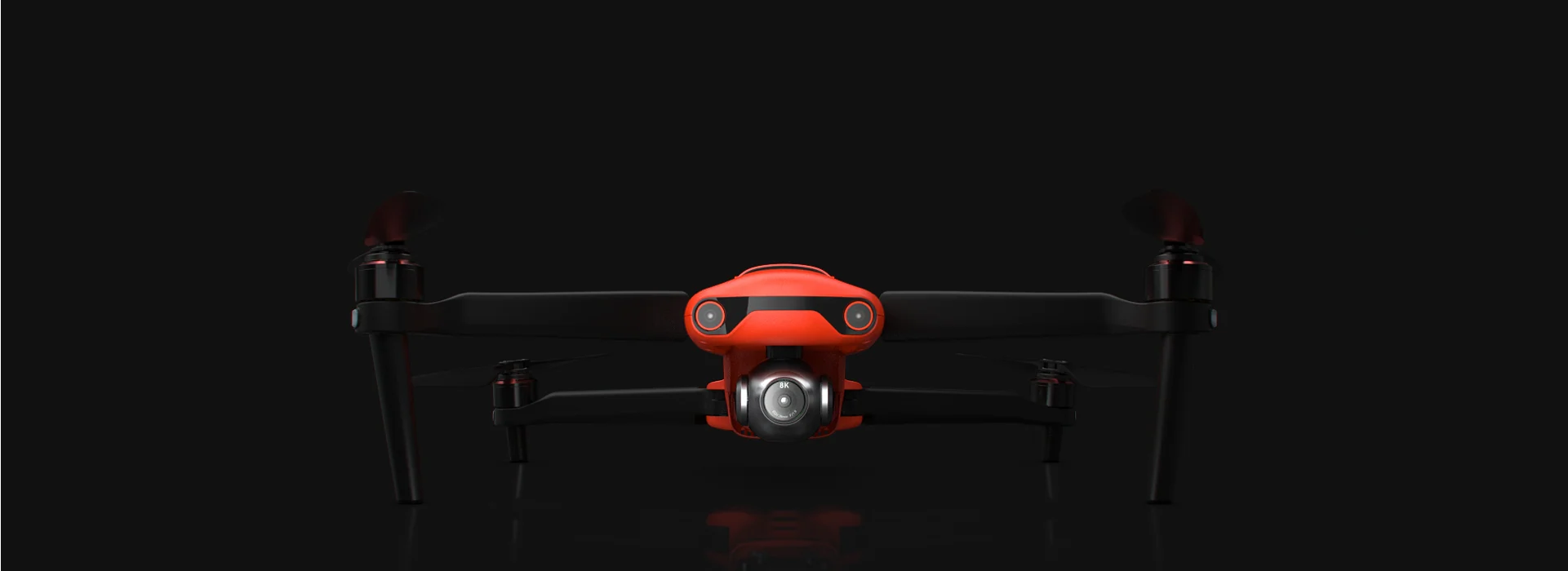
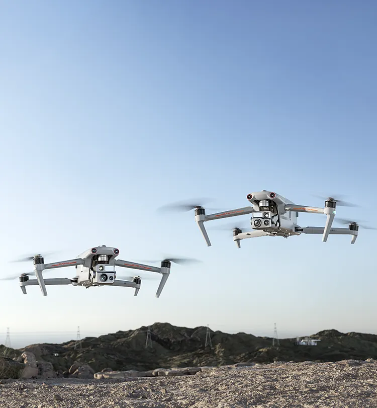
Honey Badger 5.0, Astronaut, Juno Max, Jianghuai Smart Shadow Micro Unmanned Helicopter, and Shenhao L7-T1 Airport Intelligent Bird Repelling Robot are among the models tagged to this job. Every listing shows verified specifications, and pricing where the manufacturer publishes it.
What type of robot handles aerial mapping?
This job maps to monitoring and scanning. Filter the catalog by that capability to narrow the 48 matching models.
How much does a robot for aerial mapping cost?
Pricing depends on payload, reach and cell integration, and most manufacturers quote per deployment rather than publishing a list price. Where a price is published and verified we show it on the robot's page; otherwise use Enquire to request a quote.
正在關注 Aerial Mapping 機器人?
免費註冊即可收藏適合您場地的機型、並排對比,並一次向多家廠商發送詢問。
完全免費。收藏機器人、儲存對比結果,並在同一處向廠商詢問。